I mentioned previously the beta of Google Maps, which at the time only covered the US and Canada. However Howard has spotted that there is now a UK version, complete with the same slick interface.
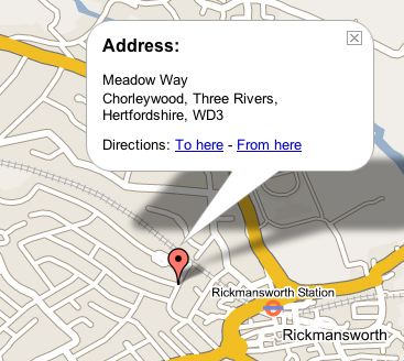
The main downers at the moment appear to be the lack of proper postcode access – like a number of other route planners that are written for the US market, they have difficulty with our postcoding system. The addresses are also a little strange, for example take a look at this street near where my parents live. Three Rivers is actually the local district council, and doesn’t figure anywhere in the address. Correctly the address should be “Chorleywood, Rickmansworth, Hertfordshire”.
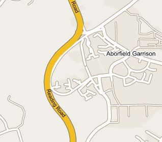
Having said that, if you take a look at Arborfield Garrison it does include some of the recent additions, including our own street. However Penrose Park that was started at about the same time is missing entirely.
Having said that, what is really impressive is the combination of the Google index with the maps. Take a look at what searching for St James produces – a map, with address and phone number, and even a link to the web site!

As a first go it is a pretty good start, whilst the linking to the website is impressive, they need to get UK addressing working properly. Once that is done it definitely would be the place to go for UK online mapping in future.